
Google Maps image
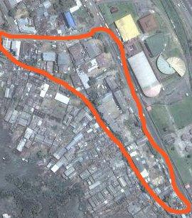
Google Maps image of the upper part of Abonnema Wharf Road and Njemanze Street before demolition (the now demolished area is marked in red)